A weather warning issued by Environment Canada Sunday morning has now been extended, as of 7:30 Monday morning.
A winter storm warning is in place for Central Alberta, including Sylvan Lake and Eckville.
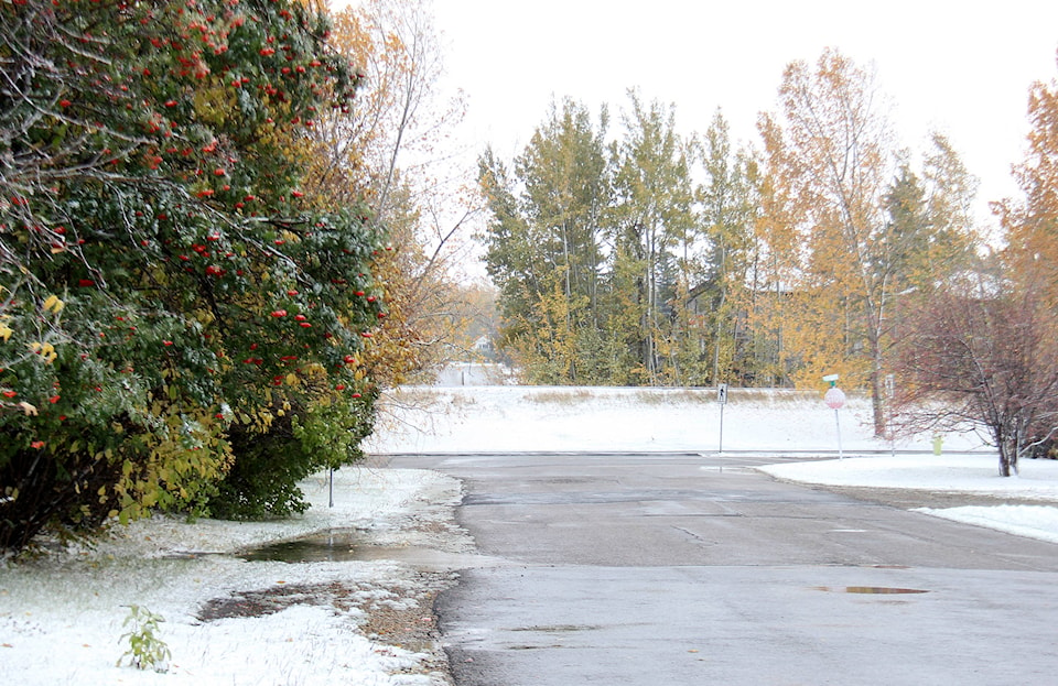
No snow fell on Sunday, though the wind was particularly strong, gusting around 60 km/h, according to Environment Canada.
Sylvan Lake, Eckville and Red Deer are expected to receive between two and four centimetres of snow, before the system tapers out later in the day.
This highest snowfall areas will be in the southern regions of the province, with the highest areas - the Cypress Hills - expected to see upwards of 20 cm of snow before the day is out.
The low pressure system will be accompanied by high winds, which Environment Canada predict will be around 60 gusting to 90 km/h.
Like the snow, the strong winds are expected to subside by later this afternoon.
Coupled with the rain from over night, the roads may be a little slick, and may be a little difficult to navigate due to accumulating snow. Visibility may also suddenly be reduced due to increased falling and blowing snow.
Environment Canada says there will be periods during the day where the snow fall is particularly heavy, but this will subside by late afternoon, early evening.
As the low pressure system moves out, the temperatures will rise, reaching a high of 20 C on Fri., Oct. 6.
The Thanksgiving weekend is expected to be a mix of sun and clouds with highs in the mid teens throughout the weekend.
megan.roth@sylvanlakenews.com
Like us on Facebook and follow us on Twitter