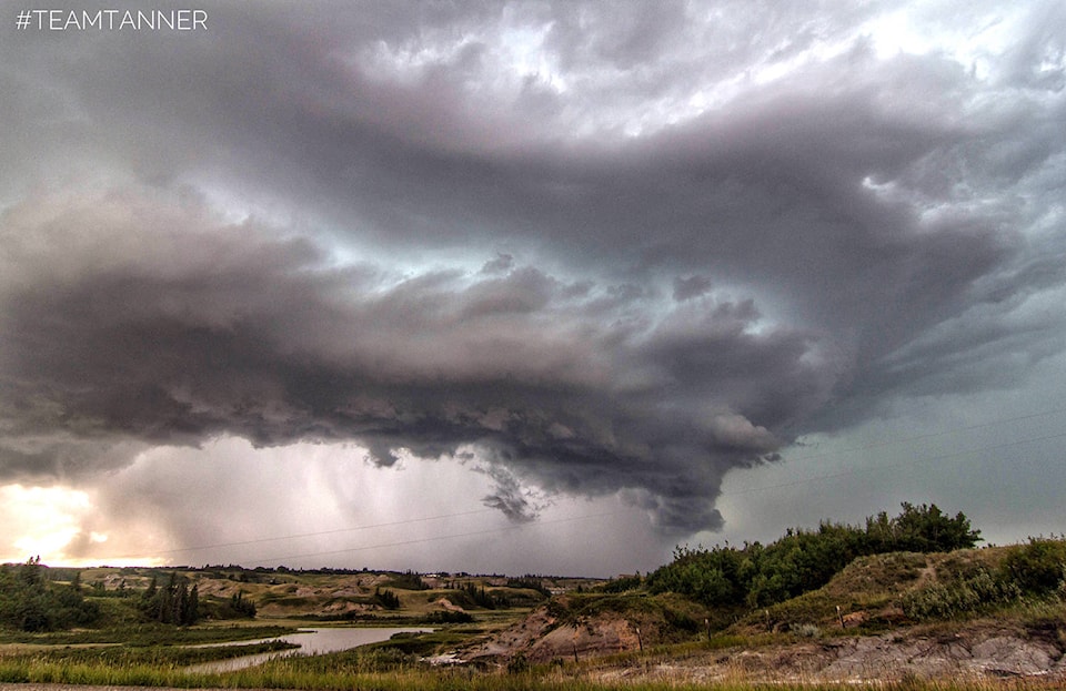
Environment Canada is warning Central Albertan there is a high risk of sever thunderstorms for the region and is expected to hit some time this afternoon.
A severe thunderstorm watch is issued by Environment Canada when atmospheric conditions are favourable for the development of thunderstorms that could produce one or more of the following: large hail, damaging winds, torrential rainfall.
Meteorologists from The Weather Network are saying the Friday will bring the most severe thunderstorms the area has seen over the last couple of days.
The meteorologists at the Weather Network are saying a low system coming over the Canadian Rockies from British Columbia is creating “unstable conditions” in much of Alberta and Saskatchewan.
The system is being classified as a “classic severe setup” with the low system starting in the Red Deer area and moving up towards Edmonton.
There is a risk of the thunderstorm evolving into a tornado threat, and meteorologists are saying the areas in the greatest risk of this happening are in the Ponoka and Edmonton areas.
Sylvan Lake and Eckville are considered to be in a non-severe area for a tornado warning at the time the watch from Environment Canada was issued around 10:30 a.m.
However, the risk of a severe thunderstorm in the Eckville and Sylvan Lake areas will be present well into the evening on Friday.
“Not everyone is going to see a severe storm on Friday, but it is definitely one you want to be prepared for,” the Weather Network said.
With a thunderstorm there is the risk of hail, high winds and heavy rains. Environment Canada is reminding the public very large hail can damage property, break windows, dent vehicles and cause serious injury and very strong wind gusts can damage buildings, down trees and blow large vehicles off the road.