While not the coldest day on record, the amount of snow expected to fall in the next 24 hours is a cause for concern.
The winter storm warning issued by Environment Canada yesterday morning continues to persist today for much of central and southern Alberta.
The storm warning, updated at 4:30 a.m. this morning stretches across Central Alberta from Stettler to Eckville.
Environment Canada is expecting upwards of 35 cm of snow to fall by the time the storm has passed. This amount is also expected to be higher for those in higher elevations and closer to the mountains.
Meteorologists at Environment Canada expect the snow to begin to taper off sometime late this afternoon across the central region of the province.
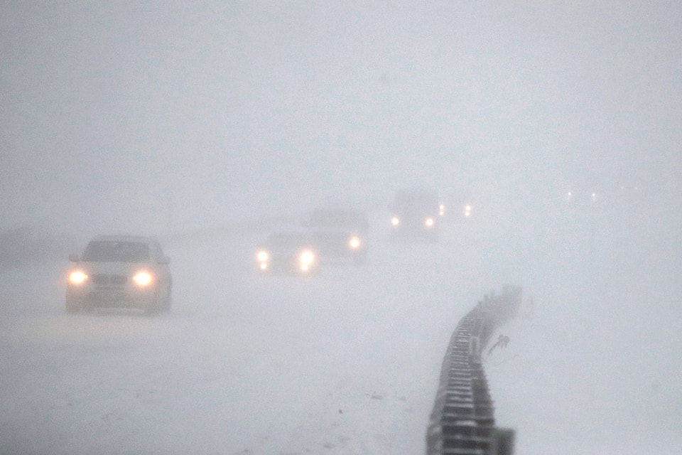
Experts suggest “postponing non-essential travel” until the snow lets up, as the quickly accumulating snow has the potential to make travel on the highways difficult.
As of 7:30 a.m. this morning, Highway 11 on both sides of the QEII are considered to be “partly covered” with snow and-or ice, according to reports from Alberta Transportation. The same conditions persist travelling north on the QEII, while south, report claim the roads to be covered with snow and-or ice.
“Prepare for quickly changing and deteriorating travel conditions,” a statement from Environment Canada warns.
Drivers travelling are reminded the posted speed limits are the maximum intended for ideal summer conditions. If travelling during the winter storm, drivers are reminded to slow down for winter conditions.
Drivers are also encouraged to have winter emergency kit in the vehicle, in case of emergency on the side of the road.
As Environment Canada predicts the snowfall will be heavier at times, it is recommended t check the up to date weather forecast and road reports before travelling.
megan.roth@sylvanlakenews.com
Like us on Facebook and follow us on Twitter